« All Events
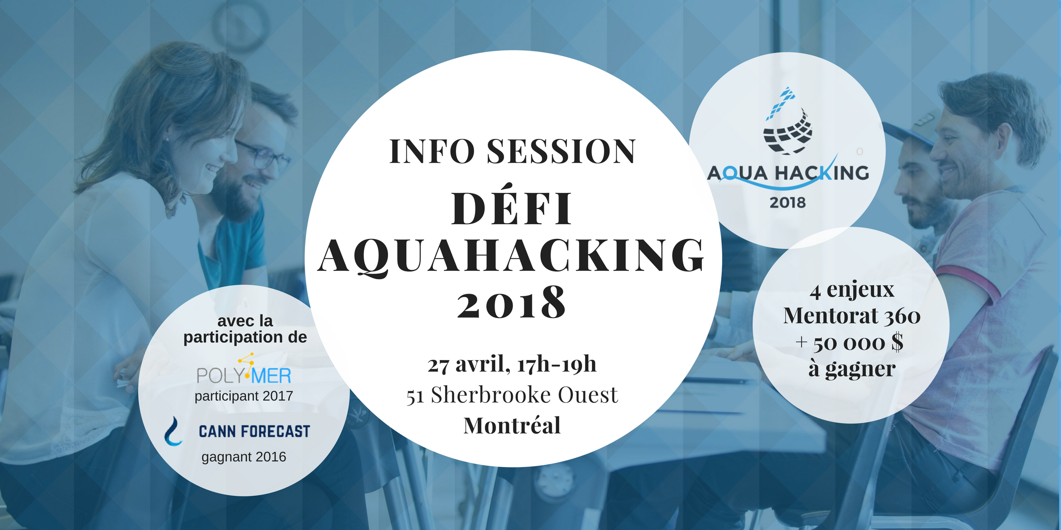
AquaHacking 2018 | Info session
April 27, 2018 @ 5:00 AM - 7:00 PM
- An application that synthesizes real-time data and short-term forecasts to warn folks (recreational users, health and safety professionals, or city managers) about when Lake Ontario is about to have one of its “moods”?
- A climate adaption tool for coastal community planners to visualize changing water levels and their impacts to coastal communities by automating water level data mixed with weather (e.g., snow melts, flooding events and ice jams).
- Communications tool during and after extreme weather events to improve coordination between local authorities and the public.
- Model flooding hot spots based on water levels, land cover, weather conditions and create a notification system for mobile devises.


